
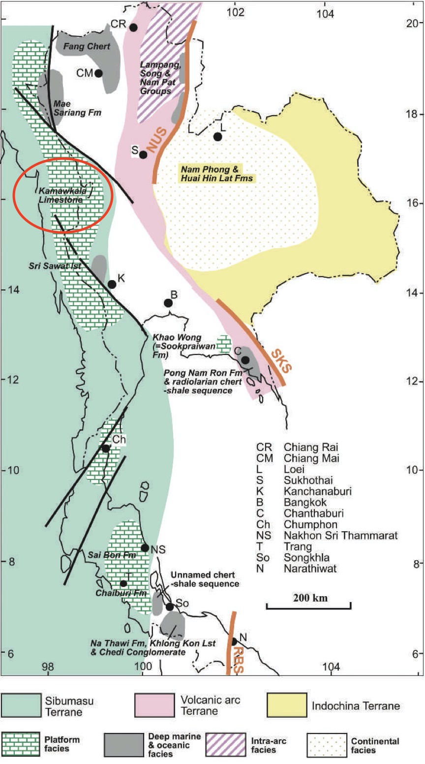
Kamawkala Limestone Fm
Type Locality and Naming
Kamawkala Gorge, 25 km northwest of Mae Ramat district, Tak province.
Synonym: หมวดหินปูนกะมอกกะลา
Lithology and Thickness
Grey thin-bedded, recrystallized limestone with some fossil debris;, thick-bedded at the lower part. Thickness: 1,100 m.
Relationships and Distribution
Lower contact
"At Kamawkala gorge a section more than 900 m thick of greenish-grey shale and sandstone forms the lowest clastic unit of the Mae Sariang Fm and contains Halobia sp. Posidonia sp. and ammonites. This fauna corresponds with the Halobia styriaca zone of the Mae Sariang area. Conformably overlying the clastics is the Kamawkala Limestone." (Chonglakmani, 2011). [Halobia styriaca zone = late-Late Carnian.]
Upper contact
Not given. Regionally (in Umphang portion of this same Mae Hong Son - Kanchanaburi Basin) the next younger units are the Umphang Gr (sandy claystone of the Klo Tho Fm).
Regional extent
"In this southern extension of the Mae Sariang area, the Late Triassic Kamawkala Limestone has long been known to crop out along the Thai – Myanmar border." [Note – the regional extent and correlation is difficult.]
GeoJSON
Fossils
"The upper part of the Kamawkala Limestone is a 380 m thick succession of grey, dense, well- bedded limestone containing Late Toarcian to Aalenian ammonites." (Chonglakmani, 2011).
Age
Depositional setting
Marine
Additional Information
Parent unit: Mae Moei Gr